Royal Air Force Sports Ground, London
Map
Facts and practical information
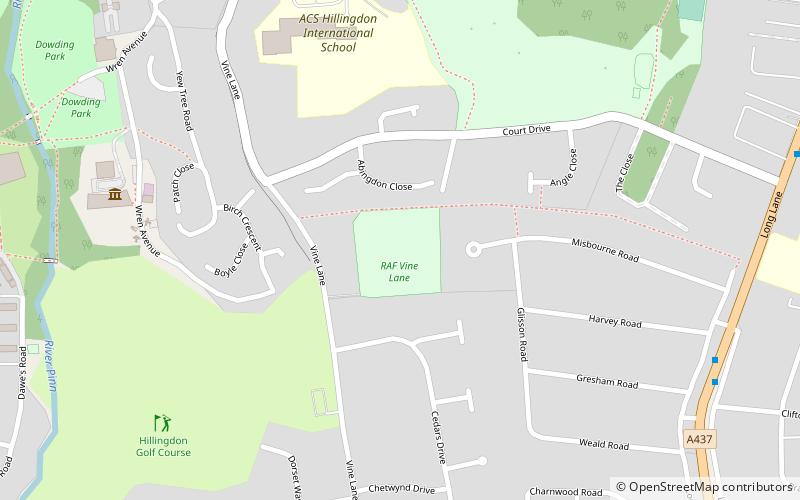
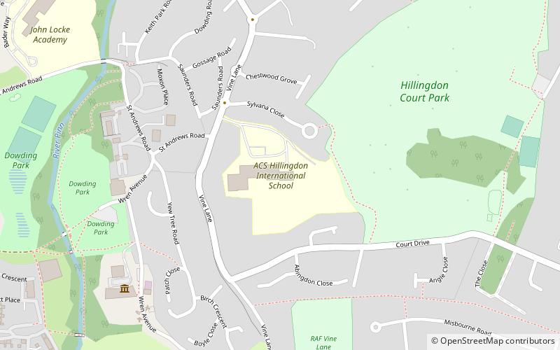
The Royal Air Force Sports Ground is a cricket ground in Uxbridge, situated behind RAF Uxbridge. The ground also goes by the name of Vine Lane, a nearby main road. It was first used in 1939 by the RAF. Teams such as the MCC, the Middlesex Cricket Board, the Army, Middlesex youth teams and the Combined Services have all played on the ground throughout its history. The ground has seen one first-class match, in 1964, between the Combined Services and Cambridge University. ()
Coordinates: 51°32'25"N, 0°27'32"W
Address
Hillingdon (Uxbridge North)London
ContactAdd
Social media
Add
Getting there by public transportation
Public transportation stops near this location
- Metro
- Bus
 Metro
Metro
- Calculate routeClifton Gardens 9 min walk
- Calculate routeHarlington Road 9 min walk
- Calculate routeSt John's Church 10 min walk
- Calculate routeUxbridge 24 min walk
- Calculate routeHillingdon 26 min walk
Maps Tube
Tube
TubeDay trips


Frequently Asked Questions (FAQ)
Which popular attractions are close to Royal Air Force Sports Ground?
Nearby attractions include Hillingdon Court, London (6 min walk), Battle of Britain Bunker, London (7 min walk), Hillingdon House, London (9 min walk), Hillingdon, London (15 min walk).
How to get to Royal Air Force Sports Ground by public transport?
The nearest stations to Royal Air Force Sports Ground:
Bus
Metro
Bus
- Clifton Gardens • Lines: 278, 697, 698, U2 (9 min walk)
- Harlington Road • Lines: 427, N207 (9 min walk)
Metro
- Uxbridge • Lines: Metropolitan, Piccadilly (24 min walk)
- Hillingdon • Lines: Metropolitan, Piccadilly (26 min walk)