Royal New Ground, Brighton
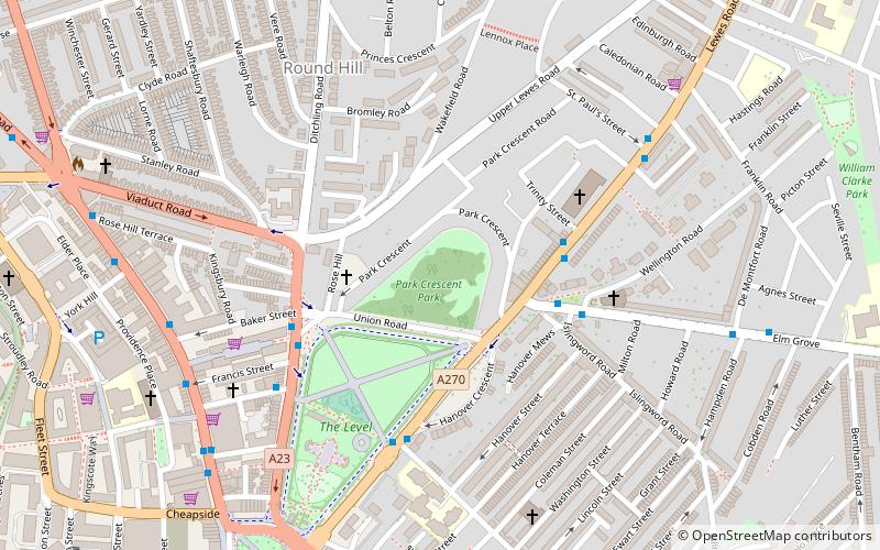
Map
Facts and practical information
The Royal New Ground, also known as "Box's Ground", in Brighton, Sussex was a venue for first-class cricket matches from 1814 to 1847. Originally called "Brown's Ground" in the 18th century, it was located where Park Crescent, Brighton now stands. ()
Coordinates: 50°49'57"N, 0°7'53"W
Address
St. Peter's and North Laine (Round Hill)Brighton
ContactAdd
Social media
Add
Day trips
Royal New Ground – popular in the area (distance from the attraction)
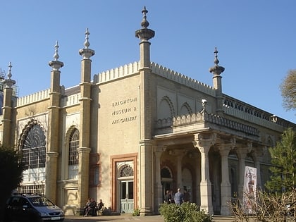
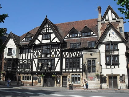
Nearby attractions include: Brighton Museum & Art Gallery, Brighton Toy and Model Museum, King and Queen, St Bartholomew's Church.
Frequently Asked Questions (FAQ)
Which popular attractions are close to Royal New Ground?
Nearby attractions include Park Crescent, Brighton (1 min walk), St Martin's Church, Brighton (4 min walk), Brighton Forum, Brighton (4 min walk), St Joseph's Church, Brighton (4 min walk).
How to get to Royal New Ground by public transport?
The nearest stations to Royal New Ground:
Bus
Train
Bus
- Elm Grove • Lines: 21, 21A, 21E, 22, 23, 24, 25, 28, 29, 29X, 48, 49, 78, N25 (4 min walk)
Train
- London Road (10 min walk)
- Brighton (13 min walk)
