Saint Peter Port Harbour, Saint Peter Port
Map
Gallery
Facts and practical information
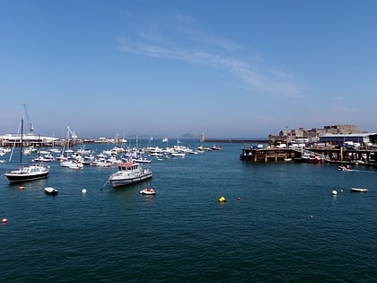
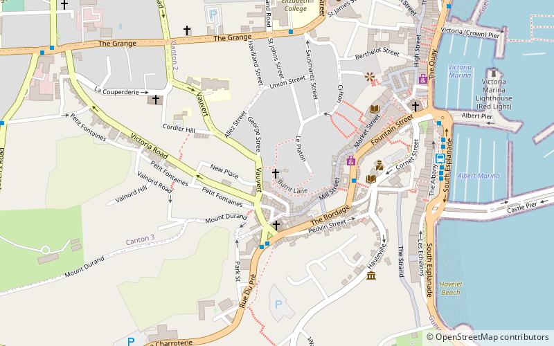
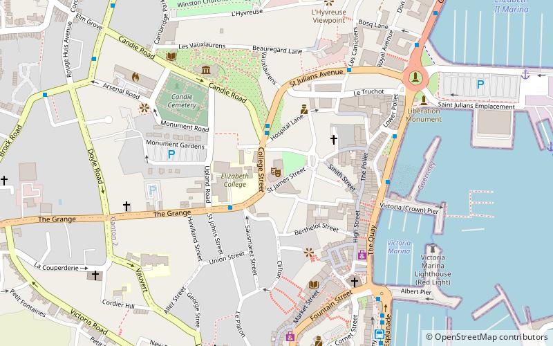
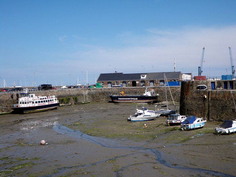
Saint Peter Port Harbour is located in Saint Peter Port, Guernsey. It was a natural anchorage used by the Romans which has been changed into an artificial harbour that is now the island's main port for passengers. Loose cargo, liquids and gas are shipped to and from St Sampson's harbour. ()
Coordinates: 49°27'16"N, 2°31'31"W
Address
Saint Peter Port
ContactAdd
Social media
Add
Day trips
Saint Peter Port Harbour – popular in the area (distance from the attraction)
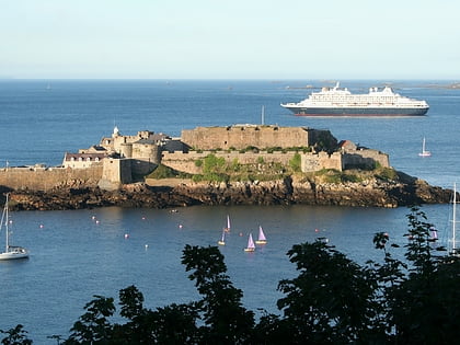
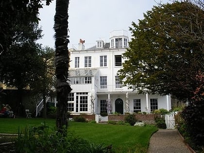
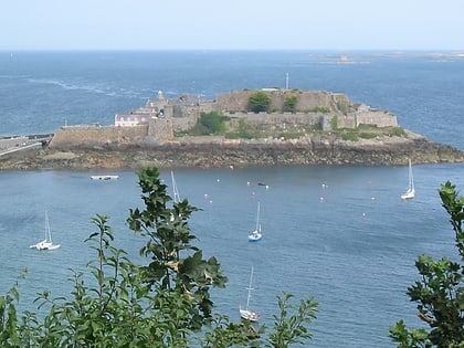
Nearby attractions include: Castle Cornet, Hauteville House, Our Lady of the Rosary Church, Town Church.
Frequently Asked Questions (FAQ)
Which popular attractions are close to Saint Peter Port Harbour?
Nearby attractions include Castle Cornet, Saint Peter Port (3 min walk), St Julian's Pier, Saint Peter Port (11 min walk), Town Church, Saint Peter Port (13 min walk), Fortifications of Guernsey, Saint Martin (15 min walk).
