Slade Bay
Map
Facts and practical information
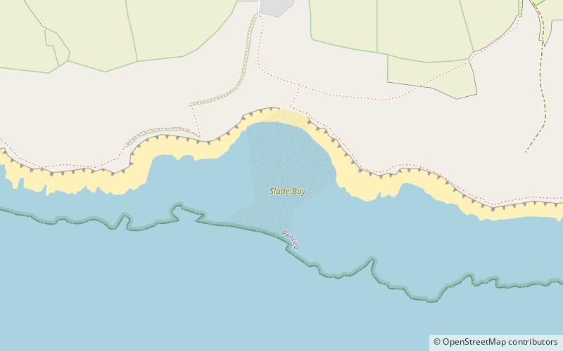
Slade Bay - marked on Ordnance Survey maps as "The Sands" - is a sandy beach near the village of Slade, south Wales. It is set in a relatively inaccessible location - being reachable only on foot and climbing over some large rocks. At the back of the beach, worked fields and steep gorse-clad cliffs are visible. ()
Coordinates: 51°32'51"N, 4°10'58"W
Location
Wales
ContactAdd
Social media
Add
Day trips


