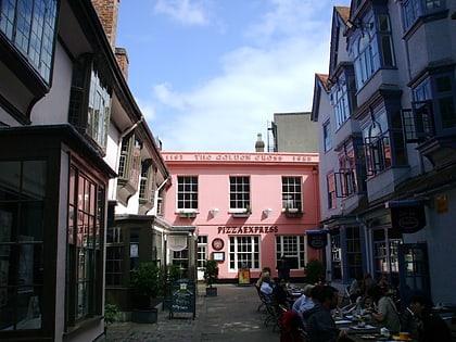
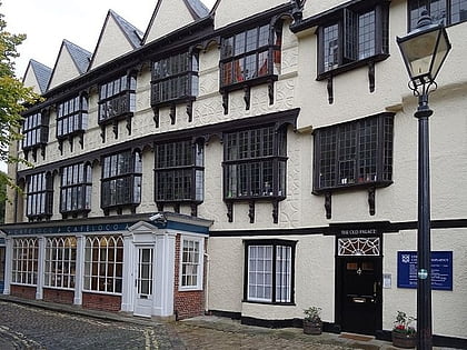
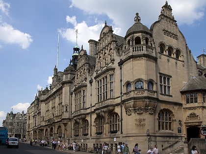
St Andrew's Church, Oxford
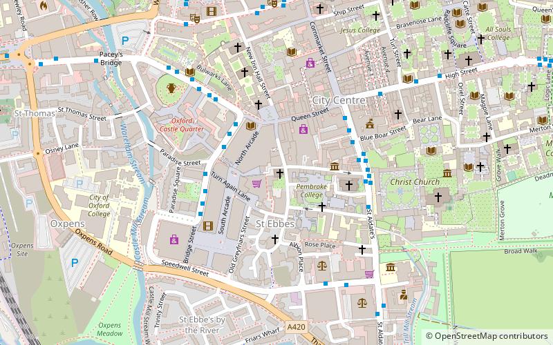
Map
Map

Facts and practical information
St Andrew's Church, Oxford is an evangelical Church of England parish church in Oxford, England. It was consecrated in 1907 and is located on the southeast corner of Linton Road and Northmoor Road in the suburb of North Oxford. ()
Coordinates: 51°45'2"N, 1°15'35"W
Day trips
St Andrew's Church – popular in the area (distance from the attraction)
Nearby attractions include: Queen Street, Clarendon Centre, Westgate, Carfax Tower.
Frequently Asked Questions (FAQ)
Which popular attractions are close to St Andrew's Church?
Nearby attractions include St Ebbe's Church, Oxford (1 min walk), Modern Art Oxford, Oxford (1 min walk), St. Ebbes, Oxford (1 min walk), Pembroke Street, Oxford (2 min walk).
How to get to St Andrew's Church by public transport?
The nearest stations to St Andrew's Church:
Bus
Train
Bus
- St Aldates • Lines: 5A, S8, Tube, X3, X39, X40 (4 min walk)
- Castle Street stop E1 • Lines: 3A (3 min walk)
Train
- Oxford (13 min walk)


