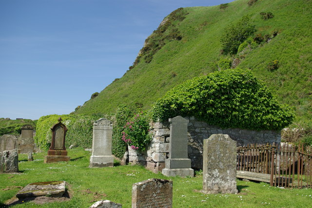
St Columba's Chapel

Gallery (2)
Map
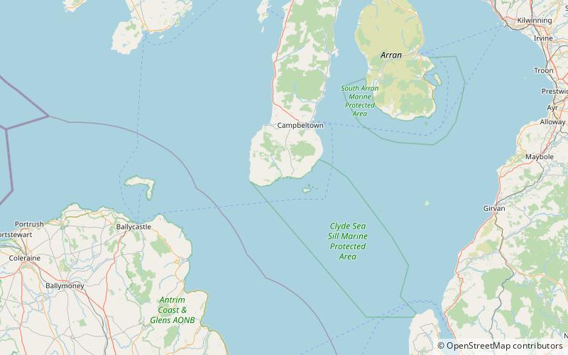
Map
Gallery
Facts and practical information
St Columba's Chapel is a ruined medieval chapel near Southend, Argyll and Bute, Scotland. It is noted for its carved grave slabs. ()
Coordinates: 55°18'30"N, 5°40'7"W
Location
Scotland
ContactAdd
Social media
Add
Day trips


