Staffordshire Way


Facts and practical information
The Staffordshire Way is a cherished path that winds through the heart of the English countryside, offering hikers and nature lovers an opportunity to experience the picturesque landscapes of Staffordshire, United Kingdom. As a long-distance hiking trail, it stretches approximately 92 miles (148 kilometers) from the rugged peaks of the Peak District National Park in the north to the tranquil waters of the Meece Brook near the market town of Mow Cop in the south.
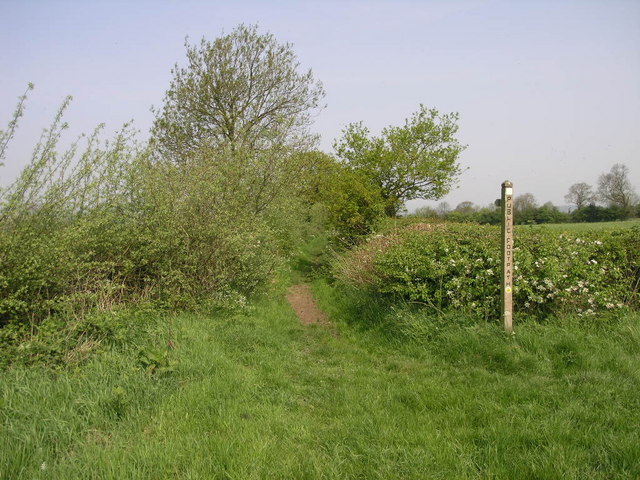
Established in 1974, the Staffordshire Way traverses a rich tapestry of diverse terrains, including rolling hills, lush woodlands, serene river valleys, and historic towns and villages, epitomizing the rural English charm. The trail is well-marked and maintained, providing a safe and enjoyable experience for walkers of varying abilities. Along the way, hikers can explore ancient monuments, stately homes, and remnants of Staffordshire's industrial past.
The Staffordshire Way is divided into manageable sections, allowing for day hikes or an extended journey for those seeking a multi-day adventure. Accommodations, ranging from quaint bed and breakfasts to country inns, are available in the towns along the route, giving hikers the chance to rest and experience local hospitality.
England