Staunton Way, Portsmouth
Map

Map

Facts and practical information
The Staunton Way is a 20.5 mile recreational circular walk in Hampshire, southern England, that connects Queen Elizabeth Country Park to Staunton Country Park. ()
Coordinates: 50°48'36"N, 1°0'22"W
Address
Portsmouth
ContactAdd
Social media
Add
Day trips
Staunton Way – popular in the area (distance from the attraction)
Nearby attractions include: West Hayling, Station Theatre, The Kench, Langstone Harbour.
Frequently Asked Questions (FAQ)
Which popular attractions are close to Staunton Way?
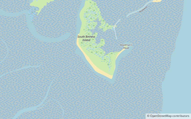
Nearby attractions include Langstone Harbour, Portsmouth (15 min walk), Hayling Billy, Hayling Island (22 min walk), South Binness Island, Portsmouth (24 min walk).


