Stoneyfields Park, London

Gallery (5)
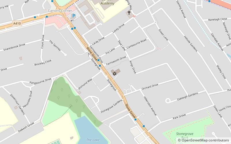
Map

Map

Gallery
Facts and practical information
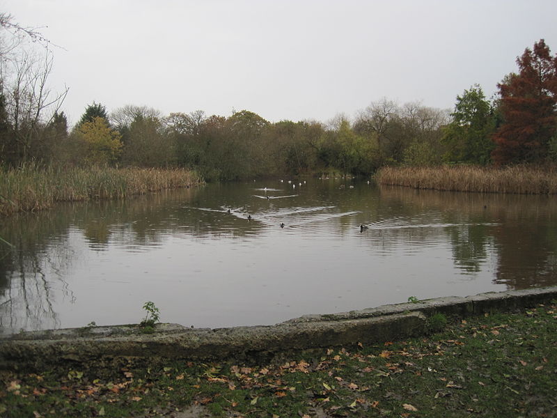
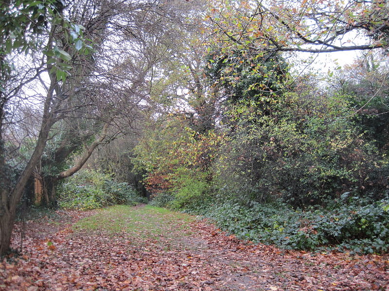
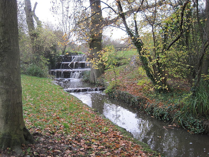
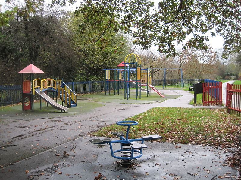
Stoneyfields Park is a three hectare public park in The Hale in the London Borough of Barnet. ()
Coordinates: 51°37'29"N, 0°15'46"W
Address
Barnet (The Hale)London
ContactAdd
Social media
Add
Getting there by public transportation
Public transportation stops near this location
- Metro
- Bus
- Train
 Metro
Metro
- Calculate routeEdgware Way 6 min walk
- Calculate routeKenilworth Road 6 min walk
- Calculate routeHighview Avenue 7 min walk
- Calculate routeEdgware 24 min walk
- Calculate routeMill Hill Broadway 27 min walk
Maps Tube
Tube
TubeDay trips


Frequently Asked Questions (FAQ)
Which popular attractions are close to Stoneyfields Park?
Nearby attractions include The Hale, Borehamwood (9 min walk), Edgware, London (16 min walk), John Keble Church, London (18 min walk), Edgwarebury Park, London (22 min walk).
How to get to Stoneyfields Park by public transport?
The nearest stations to Stoneyfields Park:
Bus
Metro
Train
Bus
- Edgware Way • Lines: 113, 186, 606, 614, 644, N113 (6 min walk)
- Kenilworth Road • Lines: 113, 186, 606, 614, 644, N113 (6 min walk)
Metro
- Edgware • Lines: Northern (24 min walk)
Train
- Mill Hill Broadway (27 min walk)