Stradey Park Cricket Ground, Llanelli
Map
Facts and practical information
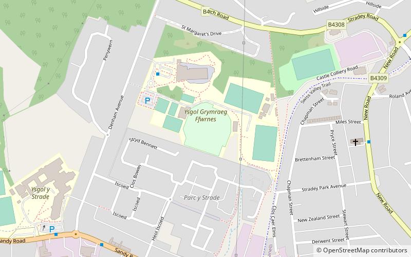
Stradey Park is a cricket ground in Llanelli, Carmarthenshire. The first recorded match on the ground was in 1861, when Carmarthenshire played Glamorganshire. ()
Coordinates: 51°41'17"N, 4°10'30"W
Address
Llanelli
ContactAdd
Social media
Add
Getting there by public transportation
Public transportation stops near this location
- Bus
- Train
 Bus
Bus
- Calculate routeLlanelli Bus Station 22 min walk
- Calculate routeLlanelli 30 min walk
Day trips


Frequently Asked Questions (FAQ)
Which popular attractions are close to Stradey Park Cricket Ground?
Nearby attractions include Coleg Sir Gâr, Llanelli (13 min walk), Hall Street Methodist Church, Llanelli (15 min walk), Church of All Saints, Llanelli (15 min walk), Our Lady Queen of Peace Church, Llanelli (16 min walk).
How to get to Stradey Park Cricket Ground by public transport?
The nearest stations to Stradey Park Cricket Ground:
Bus
Train
Bus
- Llanelli Bus Station (22 min walk)
Train
- Llanelli (30 min walk)