Swan's Way
Map
Map

Facts and practical information
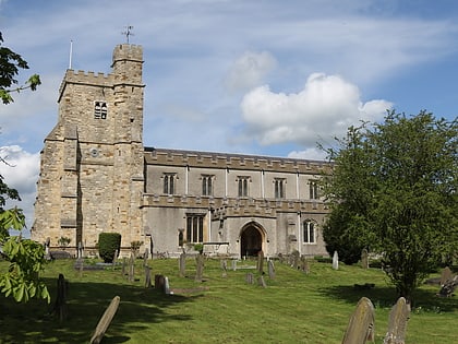
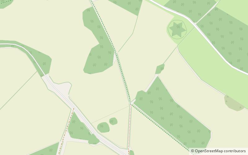
Swan's Way is a long distance bridle route and footpath in Northamptonshire, Buckinghamshire and Oxfordshire, England. It runs 65 miles from Salcey Forest, Northamptonshire to Goring-On-Thames, Oxfordshire. Although designed for horseriders by riders, it is a multi-use trail also available to walkers and cyclists. ()
Coordinates: 51°49'30"N, 0°53'44"W
Location
England
ContactAdd
Social media
Add
Day trips
Swan's Way – popular in the area (distance from the attraction)
Nearby attractions include: Waddesdon Manor, Buckinghamshire Railway Centre, Friars Square, Buckinghamshire County Museum.

