Leighton Reservoir
Map

Map

Facts and practical information
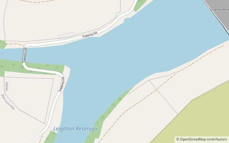
Leighton Reservoir is a reservoir which drains via the River Burn to the River Ure in North Yorkshire, England. It neighbours Roundhill Reservoir and is about 4 miles west of Masham. It takes its name from the nearby village of Leighton. ()
Elevation: 607 ft a.s.l.Coordinates: 54°12'9"N, 1°45'26"W
Day trips
Leighton Reservoir – popular in the area (distance from the attraction)
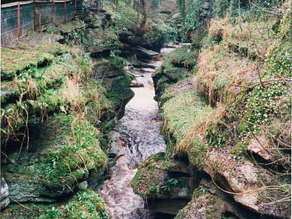
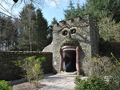
Nearby attractions include: How Stean Gorge, The Forbidden Corner, Hack Fall Wood, Jervaulx Abbey.


