Dura Den
Map
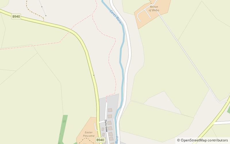
Map

Facts and practical information
Dura Den is a small, 3 km-long wooded gorge that is located near Cupar in northeastern Fife, Scotland. This narrow cleft follows a course between the villages of Kemback to the north and Pitscottie to the south. A small stream, named the Ceres Burn, follows the course of this gorge and this flow includes small waterfalls near the midpoint. Historically the Ceres Burn was used to power jute spinning mills ()
Coordinates: 56°18'42"N, 2°56'38"W
Location
Scotland
ContactAdd
Social media
Add
Day trips
Dura Den – popular in the area (distance from the attraction)
Nearby attractions include: Old Course at St Andrews, St Andrews Links, Botanic Garden, Swilcan Bridge.


