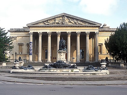
Clifton College Close Ground, Bristol
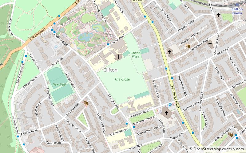
Map
Map

Facts and practical information
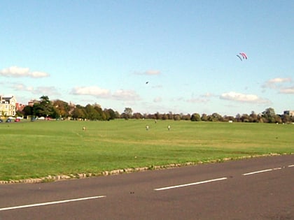
Clifton College Close is a cricket venue in Clifton College, Bristol, which was used by Gloucestershire for 96 first-class matches between 1871 and 1932. It is first recorded as a cricket venue in 1860 and remains in use for local matches. ()
Coordinates: 51°27'41"N, 2°37'10"W
Address
CliftonBristol
ContactAdd
Social media
Add
Day trips
Clifton College Close Ground – popular in the area (distance from the attraction)
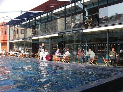
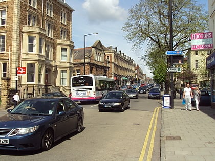
Nearby attractions include: Lido, Whiteladies Road, Bristol Zoo, Clifton Suspension Bridge.
Frequently Asked Questions (FAQ)
Which popular attractions are close to Clifton College Close Ground?
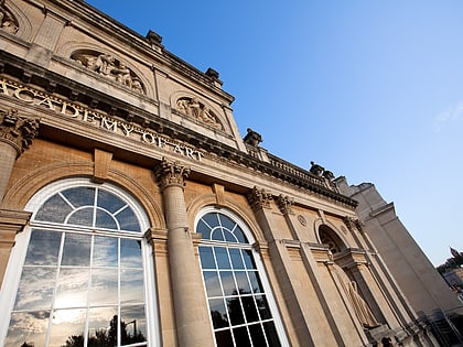
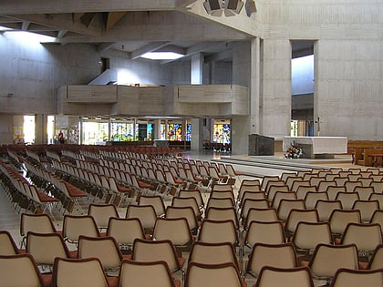
Nearby attractions include Clifton, Bristol (2 min walk), Clifton College, Bristol (3 min walk), All Saints Clifton, Bristol (5 min walk), Clifton Cathedral, Bristol (5 min walk).
How to get to Clifton College Close Ground by public transport?
The nearest stations to Clifton College Close Ground:
Bus
Train
Ferry
Bus
- Alma Vale • Lines: 8, 9 (4 min walk)
- Guthrie Road • Lines: 8, 9 (5 min walk)
Train
- Clifton Down (11 min walk)
- Redland (26 min walk)
Ferry
- Mardyke • Lines: Hotwells-Centre (23 min walk)
- Capricorn Quay (24 min walk)

