St John the Evangelist's Church

Gallery (1)
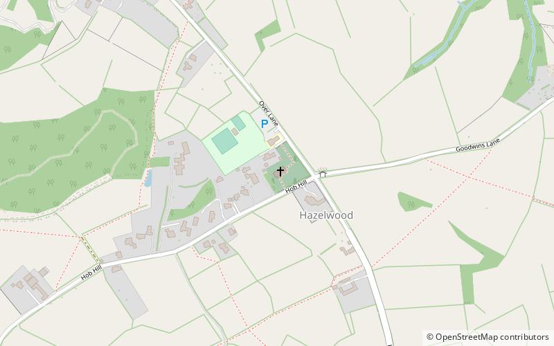
Map
Map
Facts and practical information
St John the Evangelist's Church, Hazelwood is a Grade II listed parish church in the Church of England in Hazelwood, Derbyshire. ()
Coordinates: 53°0'39"N, 1°30'45"W
Location
England
ContactAdd
Social media
Add
Day trips