Ingliston Racing Circuit, Edinburgh

Map
Facts and practical information
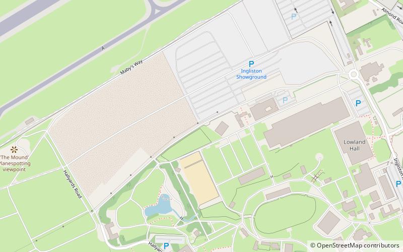
Ingliston Racing Circuit is 1.03-mile motor racing circuit that was built at the Royal Highland Showground at Ingliston, Edinburgh. The circuit was created by widening and linking the network of access roads at the venue which had previously been used exclusively as an agricultural showground. ()
Opened: 11 April 1965 (60 years ago)Coordinates: 55°56'35"N, 3°22'39"W
Address
InglistonEdinburgh
ContactAdd
Social media
Add
Day trips
Ingliston Racing Circuit – popular in the area (distance from the attraction)
Nearby attractions include: Cat Stane, Newbridge Inn, Royal Highland Show, Newbridge chariot.
Frequently Asked Questions (FAQ)
How to get to Ingliston Racing Circuit by public transport?
The nearest stations to Ingliston Racing Circuit:
Bus
Tram
Bus
- Airport Hotel • Lines: 200, 400 (17 min walk)
- Airport • Lines: 100, 200, 400 (19 min walk)
Tram
- Edinburgh Airport • Lines: Edinburgh Trams Eastbound, Edinburgh Trams Westbound (19 min walk)
- Ingliston Park & Ride • Lines: Edinburgh Trams Eastbound, Edinburgh Trams Westbound (24 min walk)


