Great Hollands, Bracknell
Map

Map

Facts and practical information
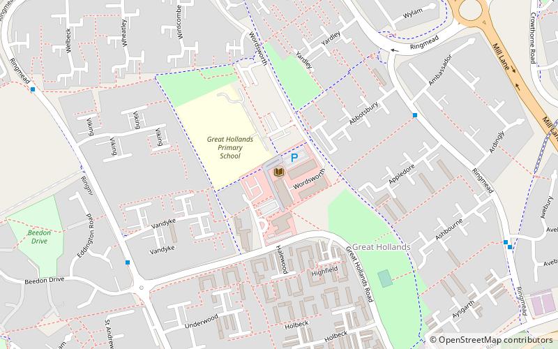
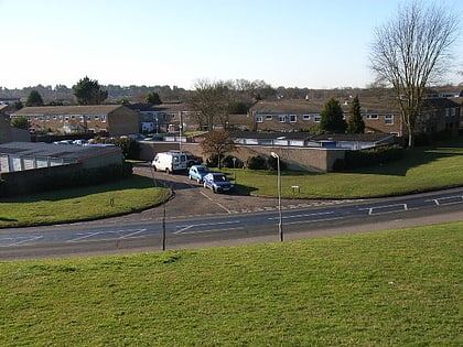
Great Hollands is a suburb of Bracknell in Berkshire, England. It takes its name from a medieval field-name of Easthampstead parish, which it was previously in. Building of the estate began around 1967 as the town continued to expand. ()
Coordinates: 51°23'59"N, 0°46'15"W
Address
Great Hollands SquareGreat Hollands NorthBracknell
ContactAdd
Social media
Add
Day trips
Great Hollands – popular in the area (distance from the attraction)
Nearby attractions include: South Hill Park, Downshire Golf Complex, St Michael and St Mary Magdalene's Church, Pinewood Miniature Railway.
Frequently Asked Questions (FAQ)
Which popular attractions are close to Great Hollands?
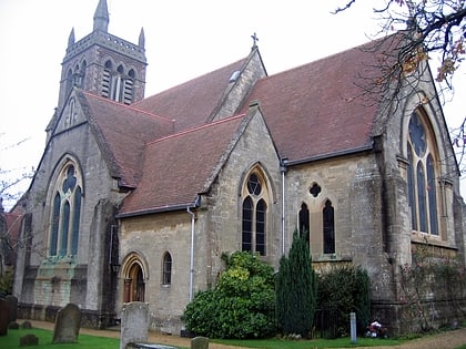
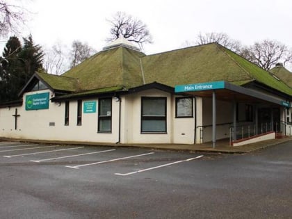
Nearby attractions include St Michael and St Mary Magdalene's Church, Bracknell (13 min walk), Easthampstead Park, Bracknell (20 min walk), Easthampstead Baptist Church - Bracknell, Bracknell (21 min walk).
How to get to Great Hollands by public transport?
The nearest stations to Great Hollands:
Train
Bus
Train
- Bracknell (32 min walk)
Bus
- Bracknell Bus Station • Lines: 171, 702, 703 (34 min walk)


