Kempt Tower
Map

Map

Facts and practical information
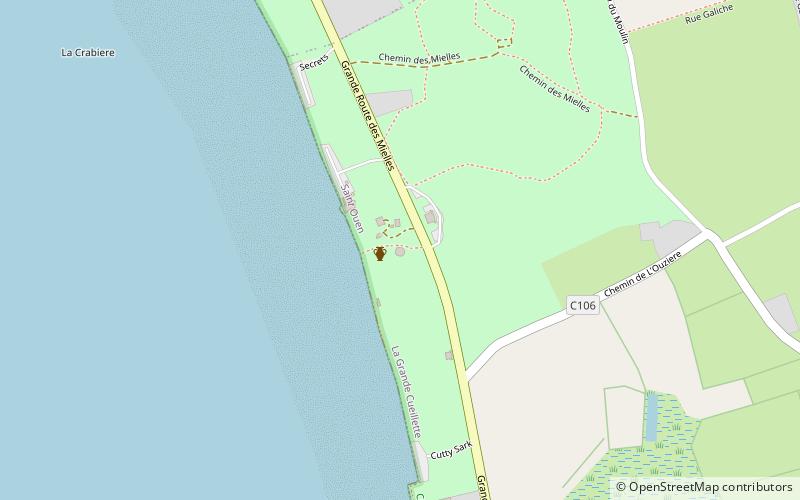
Kempt Tower, in La Grande Cueillette, Saint Ouen, Jersey, is also known as Saint Ouen No. 2 and La Grôsse Tou in Jèrriais, and is a Martello tower that the British completed in 1834. It is named for Sir James Kempt, the Master-General of the Ordnance from 1830 to 1834. While governor of Canada, Kempt was involved in the planning for the use of Martello towers to protect the colony. Currently, Kempt Tower serves as the interpretation centre for Les Mielles conservation area. ()
Coordinates: 49°13'16"N, 2°13'39"W
Location
Saint Ouen
ContactAdd
Social media
Add
Day trips
Kempt Tower – popular in the area (distance from the attraction)
Nearby attractions include: Elizabeth Castle, La Corbière, Battery Lothringen, St Brelade's Church.


