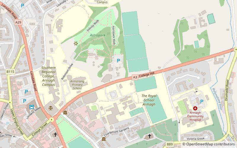
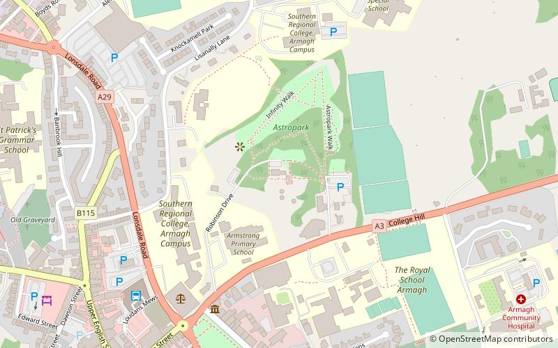
The Royal School, Armagh
Map
Facts and practical information
The Royal School, Armagh is a co-educational voluntary grammar school, founded in the 17th century, in the city of Armagh in Northern Ireland. It has a boarding department with an international intake. It is a member of the Headmasters' and Headmistresses' Conference. ()
Coordinates: 54°21'8"N, 6°38'53"W
Getting there by public transportation
Public transportation stops near this location
- Bus
 Bus
Bus
- Calculate routeArmagh Bus Station 7 min walk
Day trips


Frequently Asked Questions (FAQ)
Which popular attractions are close to The Royal School?
Nearby attractions include Armagh Planetarium, Armagh (1 min walk), Armagh Observatory, Armagh (3 min walk), Royal Irish Fusiliers Museum, Armagh (5 min walk), Armagh County Museum, Armagh (5 min walk).
How to get to The Royal School by public transport?
The nearest stations to The Royal School:
Bus
Bus
- Armagh Bus Station (7 min walk)