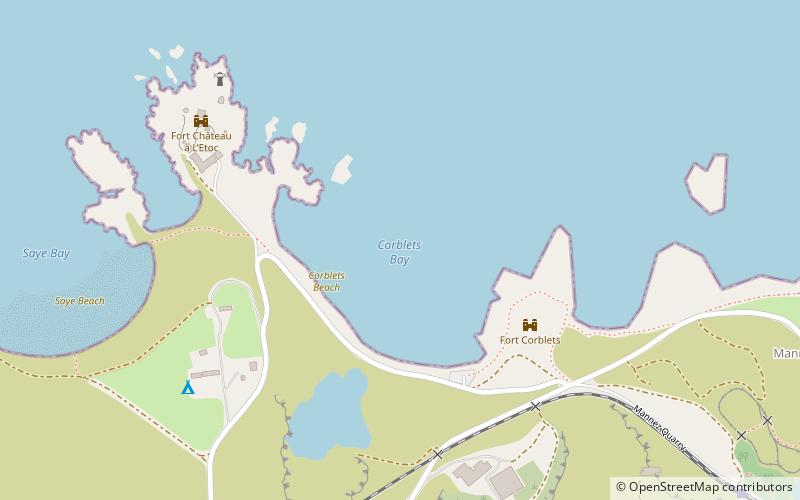
Corblets Beach, Alderney
Map
Facts and practical information
Corblets Beach is a place located in Alderney (Alderney parish) and belongs to the category of beach.
It is situated at an altitude of -7 feet, and its geographical coordinates are 49°43'48"N latitude and 2°10'24"W longitude.
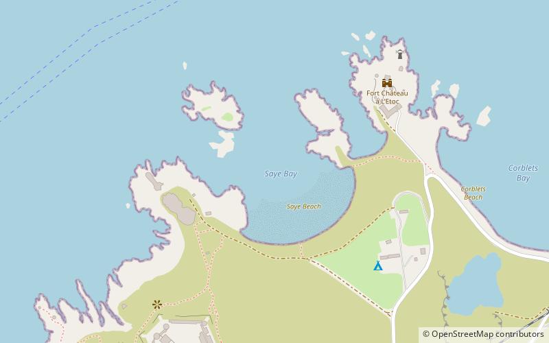
Among other places and attractions worth visiting in the area are: Saye Beach (beach, 9 min walk), Alderney Lighthouse (lighthouse, 11 min walk), Arsenal Ground (sport, 17 min walk).
Coordinates: 49°43'48"N, 2°10'24"W
Address
Alderney
ContactAdd
Social media
Add
Day trips


Frequently Asked Questions (FAQ)
Which popular attractions are close to Corblets Beach?
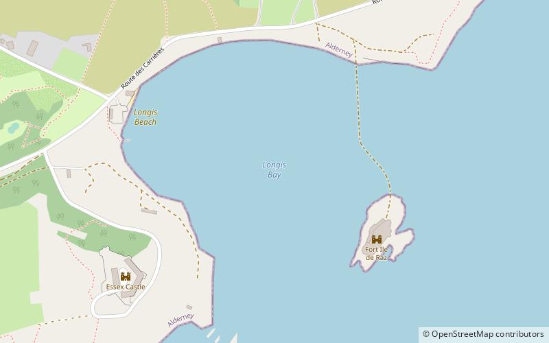
Nearby attractions include Saye Beach, Alderney (9 min walk), Alderney Lighthouse, Alderney (11 min walk), Longis Beach, Alderney (19 min walk).