Clocaenog Forest
Map

Map

Facts and practical information
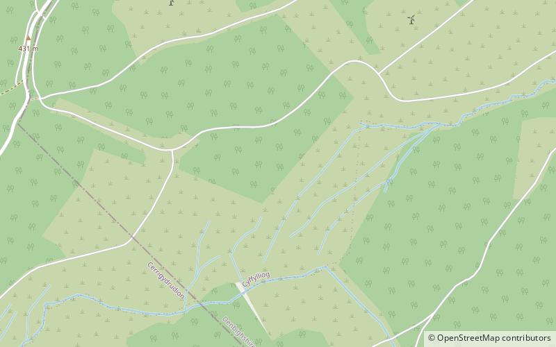
The Clocaenog Forest is in west Denbighshire and east Conwy, Wales on Mynydd Hiraethog. It takes its name from the village of Clocaenog, near Ruthin. ()
Coordinates: 53°3'54"N, 3°28'44"W
Location
Wales
ContactAdd
Social media
Add
Day trips
Clocaenog Forest – popular in the area (distance from the attraction)
Nearby attractions include: Alwen Reservoir, Llyn Brenig, St Mary's Church, St Mary's Church.


