Bintry Watermill

Gallery (1)
Map
Map
Facts and practical information
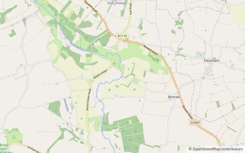
Bintry Watermill is located on the River Wensum, about a mile west of the village of Bintree in the English county of Norfolk. The watermill is thought to have stood at this location since 1454. The present mill is thought to date from the 1750s ()
Opened: 1750 (276 years ago)Coordinates: 52°46'43"N, 0°57'43"E
Location
England
ContactAdd
Social media
Add
Day trips


