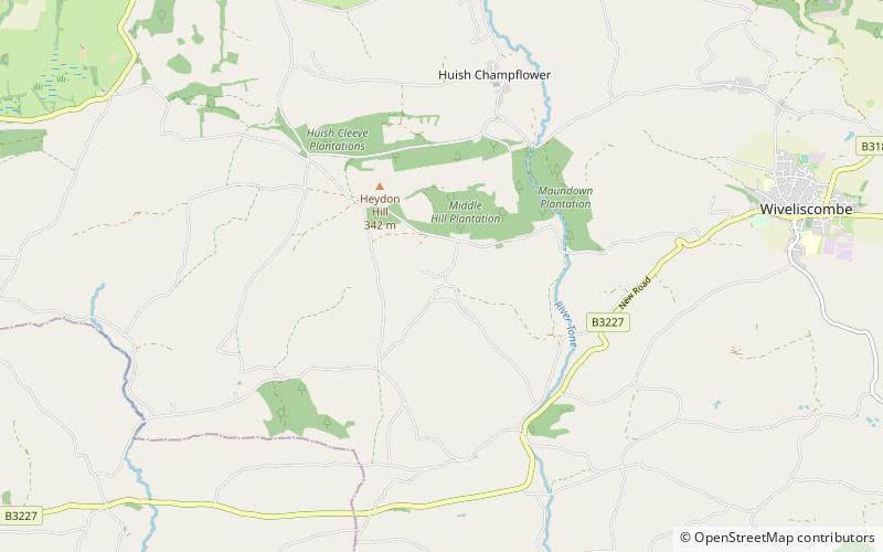
Church of All Saints
Map

Map

Facts and practical information
The Church of All Saints is an Anglican church in Chipstable, Somerset, England which probably dates from the early 13th century. It is located in the deanery of Tone, within the diocese of Bath and Wells. It is a Grade II* listed building. ()
Coordinates: 51°2'8"N, 3°22'0"W
Location
England
ContactAdd
Social media
Add
Day trips
Church of All Saints – popular in the area (distance from the attraction)
Nearby attractions include: Cothay Manor, Church of St Lawrence, Church of St. Peter, Tonedale Mills.


