Woodside, Glasgow
Map

Gallery
Facts and practical information
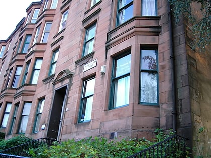
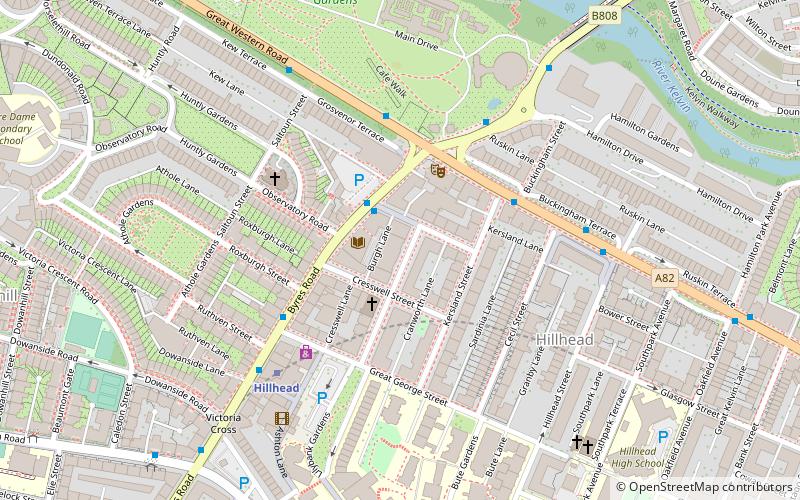
Woodside is a district in the Scottish city of Glasgow and also forms some of the most southern part of the much larger district of Maryhill. It is situated north of the River Clyde, between the River Kelvin and the Forth and Clyde Canal. ()
Coordinates: 55°52'32"N, 4°16'24"W
Address
FirhillGlasgow
ContactAdd
Social media
Add
Day trips
Woodside – popular in the area (distance from the attraction)
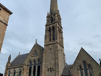
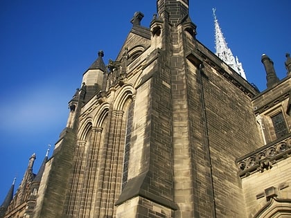
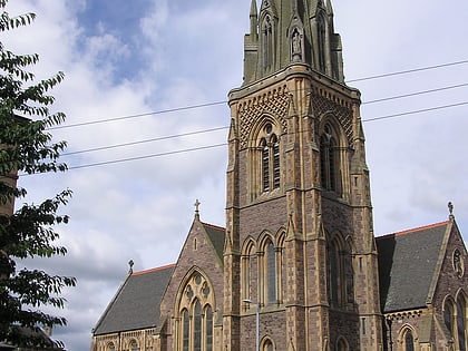
Nearby attractions include: Glasgow University Union, Glasgow School of Art, Hunterian Museum and Art Gallery, Queen's Cross Church.
Frequently Asked Questions (FAQ)
Which popular attractions are close to Woodside?
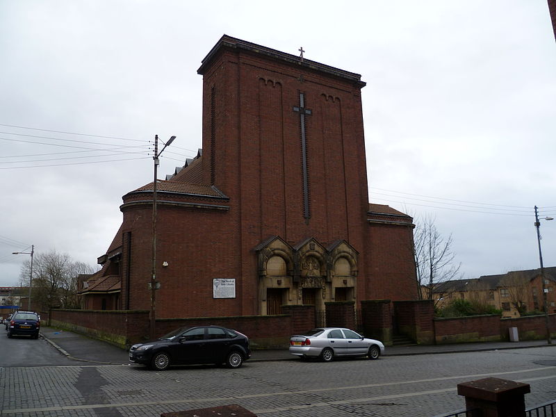
Nearby attractions include St Mary's Cathedral, Glasgow (5 min walk), Websters Theatre, Glasgow (6 min walk), Kelvin Stevenson Memorial Church, Glasgow (7 min walk), St Columba, Glasgow (7 min walk).
How to get to Woodside by public transport?
The nearest stations to Woodside:
Bus
Metro
Train
Bus
- Maryhill Road / North Woodside Road • Lines: 17, 60, 60A, 61, 8, C8 (3 min walk)
- Maryhill Road / Seamore Street • Lines: 17, 60, 60A, 61, 8, C8, N60 (4 min walk)
Metro
- Kelvinbridge • Lines: Subway (7 min walk)
- St Georges Cross • Lines: Subway (10 min walk)
Train
- Charing Cross (20 min walk)
- Exhibition Centre (27 min walk)


