Port of Inverness, Inverness
Map

Map

Facts and practical information
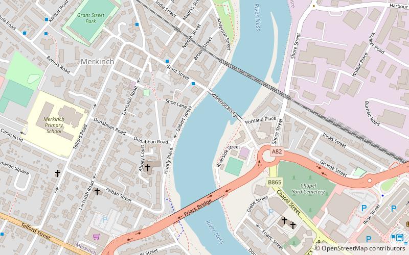
The Port of Inverness is a port on the east coast of Scotland, at Inverness, Highland council area, at the mouth of the River Ness. It is one of Scotland's most sheltered and deep natural ports. The port is owned and operated by Inverness Harbour Trust, established by Act of Parliament in 1847. The port was first recorded in history in 1249. ()
Opened: 1249 (777 years ago)Coordinates: 57°28'60"N, 4°13'60"W
Address
Inverness
ContactAdd
Social media
Add
Day trips
Port of Inverness – popular in the area (distance from the attraction)
Nearby attractions include: Eastgate Shopping Centre, Inverness Castle, Caledonian Stadium, St Mary's Catholic Church.
Frequently Asked Questions (FAQ)
Which popular attractions are close to Port of Inverness?
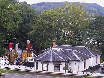
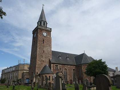
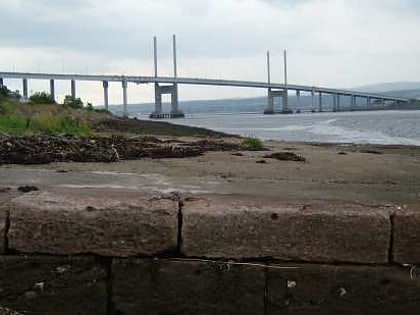
Nearby attractions include Merkinch, Inverness (5 min walk), Ironworks Venue, Inverness (7 min walk), Old High Church, Inverness (7 min walk), Greig Street Bridge, Inverness (9 min walk).
How to get to Port of Inverness by public transport?
The nearest stations to Port of Inverness:
Bus
Train
Bus
- Inverness Bus Station • Lines: 917, 919 (9 min walk)
- Tomnahurich Street • Lines: 917 (14 min walk)
Train
- Inverness (12 min walk)


