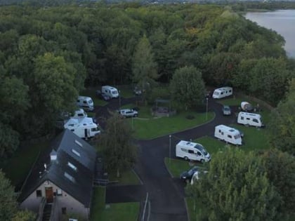
Ballyronan Marina & Caravan Park, Magherafelt
Map
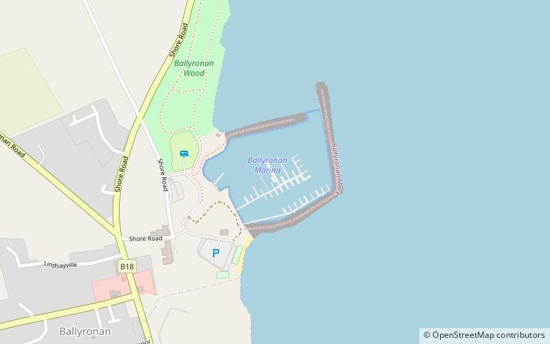
Map

Facts and practical information
Ballyronan Marina & Caravan Park (address: 135A Shore Road) is a place located in Magherafelt (Northern Ireland province) and belongs to the category of sailing, park, marina.
It is situated at an altitude of 36 feet, and its geographical coordinates are 54°42'36"N latitude and 6°31'41"W longitude.
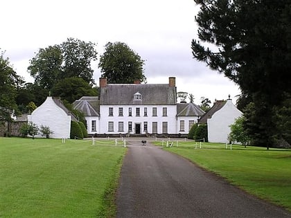
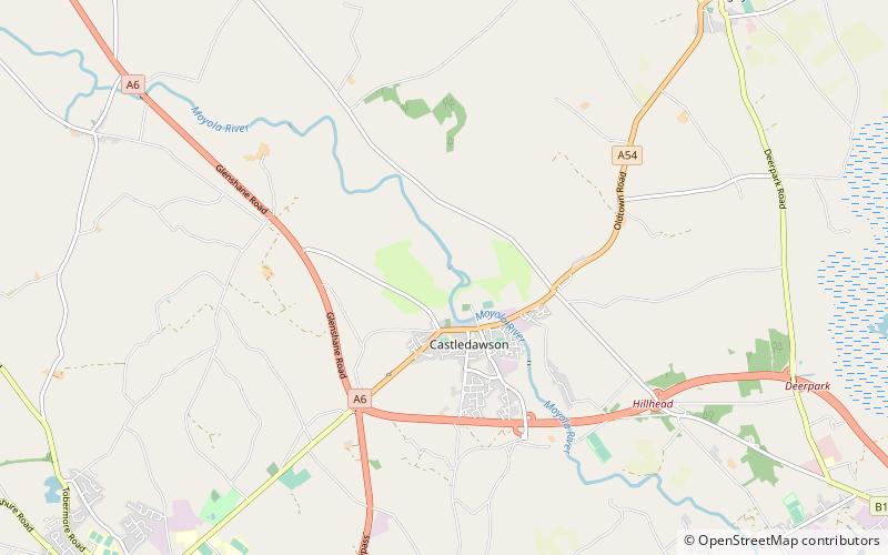
Among other places and attractions worth visiting in the area are: Mill Meadow (sport, 127 min walk), Moyola Park Golf Club (golf, 133 min walk), Springhill House (historical place, 137 min walk).
Elevation: 36 ft a.s.l.Coordinates: 54°42'36"N, 6°31'41"W
Day trips
Ballyronan Marina & Caravan Park – popular in the area (distance from the attraction)
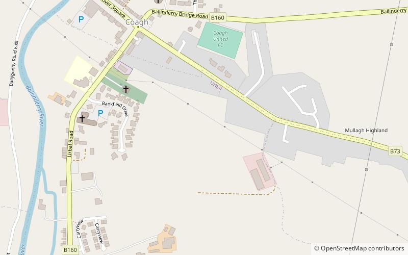
Nearby attractions include: Springhill House, Moyola Park Golf Club, Mill Meadow, Hagan Park.
