Halket Loch

Gallery (3)
Map
Map
Gallery
Facts and practical information
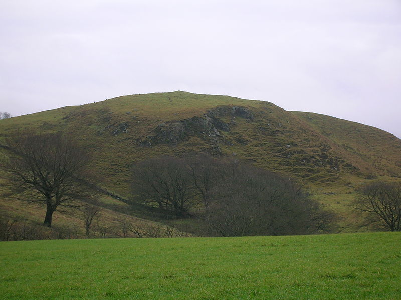
Halket Loch' also known as Halkhead or Halketh, was situated in the mid-Ayrshire clayland near Lugton. It is visible as a surface depression in pastureland, sometimes partially flooded, situated in a low-lying area close to farms and dwellings of East, North and Middle Halket and Craighead in the Parish of Dunlop, East Ayrshire, Scotland. The loch was natural, sitting in a hollow created by glaciation. The loch waters drained via the Glazert Water that joins the Annick Water. ()
Elevation: 653 ft a.s.l.Coordinates: 55°26'24"N, 4°18'36"W
Location
Scotland
ContactAdd
Social media
Add
Day trips