Wherryman's Way, Norwich
Map

Map

Facts and practical information
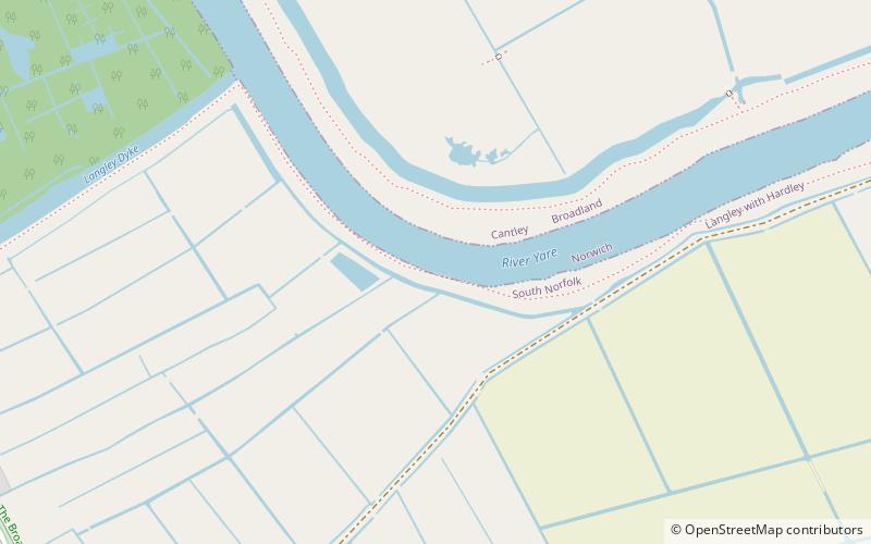
Wherryman's Way is a long-distance footpath in the English county of Norfolk. ()
Length: 34.8 miSeason: All yearCoordinates: 52°34'15"N, 1°29'54"E
Day trips
Wherryman's Way – popular in the area (distance from the attraction)
Nearby attractions include: Strumpshaw Steam Museum, Reedham Swing Bridge, St Gregory's Church, St Nicholas Church.
Frequently Asked Questions (FAQ)
How to get to Wherryman's Way by public transport?
The nearest stations to Wherryman's Way:
Bus
Train
Bus
- War Memorial, adj • Lines: 85 (14 min walk)
- Village Hall, opp • Lines: 85 (17 min walk)
Train
- Cantley (22 min walk)


