Pulborough Brooks, South Downs National Park
Map

Map

Facts and practical information
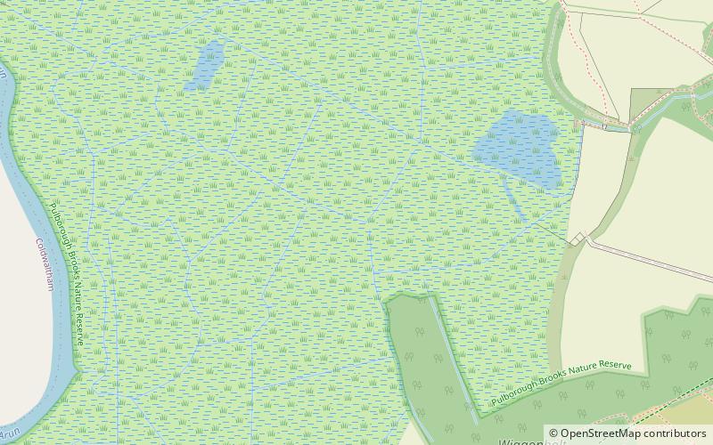
Pulborough Brooks is a 160-hectare biological Site of Special Scientific Interest south of Pulborough in West Sussex. It is part of the Pulborough Brooks nature reserve, which is managed by the Royal Society for the Protection of Birds. It is also part of the Arun Valley Ramsar site, Special Area of Conservation and Special Protection Area. ()
Elevation: 3 ft a.s.l.Coordinates: 50°56'19"N, 0°30'16"W
Address
South Downs National Park
ContactAdd
Social media
Add
Day trips
Pulborough Brooks – popular in the area (distance from the attraction)
Nearby attractions include: St Botolph's Church, Parham Park, Greatham Church, South Downs Light Railway.
Frequently Asked Questions (FAQ)
How to get to Pulborough Brooks by public transport?
The nearest stations to Pulborough Brooks:
Train
Train
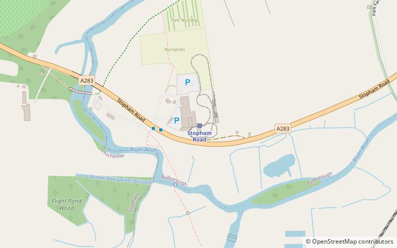
- Stopham Road (41 min walk)


