Cole Park
Map

Map

Facts and practical information
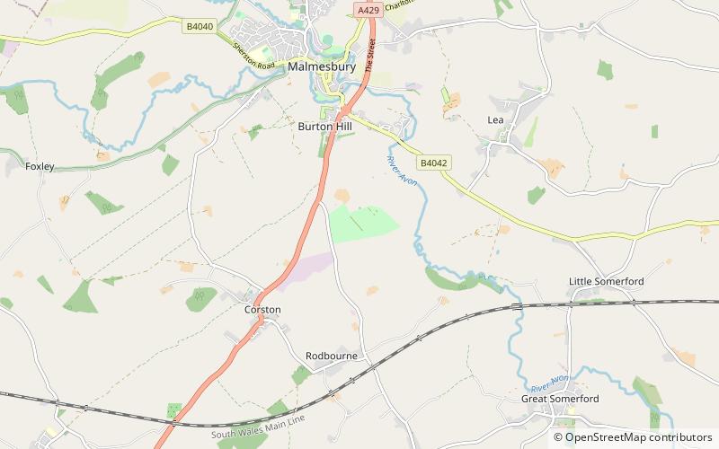
Cole Park is a Grade II* listed moated country house off Grange Lane, in the parish of St Paul Malmesbury Without, about 1+1⁄4 miles south of Malmesbury, Wiltshire, England. It stands on land once known as Cowfold that was owned in the Middle Ages by the Abbey of Malmesbury, and in the Tudor period was a royal stud. ()
Elevation: 256 ft a.s.l.Coordinates: 51°33'57"N, 2°5'27"W
Location
England
ContactAdd
Social media
Add
Day trips
Cole Park – popular in the area (distance from the attraction)
Nearby attractions include: Malmesbury Abbey, St Aldhelm, Church of St Mary the Virgin, Highgrove House.


