Derry

Map
Facts and practical information
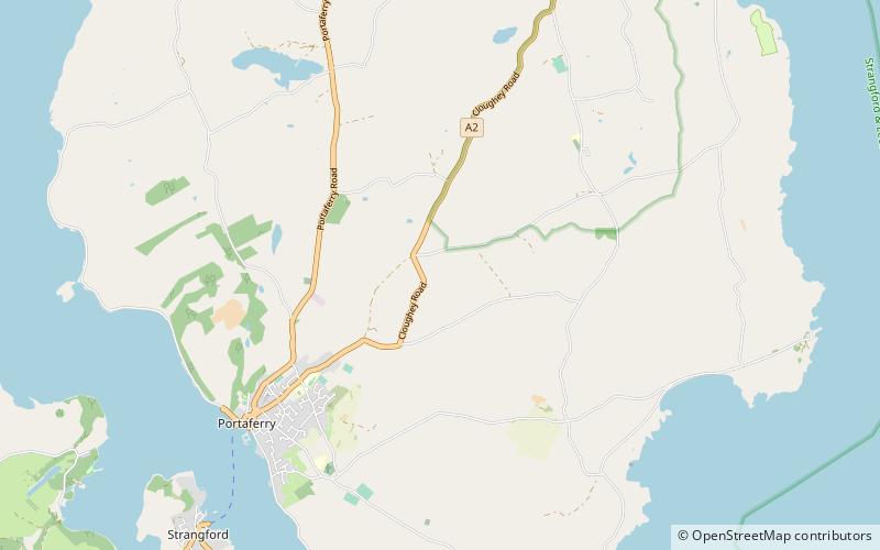
Derry is a townland in the civil parish of Ballyphilip in the barony of Ards Upper, County Down, in Northern Ireland. It is near Portaferry on the Ards Peninsula. The townland has remains of two small ruined churches. ()
Coordinates: 54°23'39"N, 5°31'6"W
Location
Northern Ireland
ContactAdd
Social media
Add
Day trips
Derry – popular in the area (distance from the attraction)
Nearby attractions include: Portaferry Marina, Exploris, Portaferry Castle, Quintin Castle.


