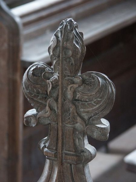
All Hallows Church

Gallery (2)
Map
Map
Gallery
Facts and practical information
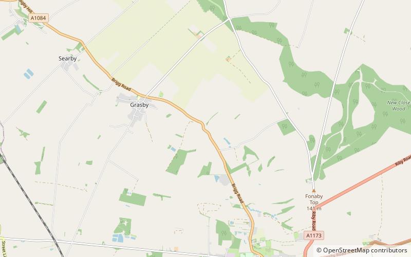
All Hallows Church, Clixby, is a redundant Anglican church in the hamlet of Clixby, about 1 mile east of the village of Grasby, Lincolnshire, England. It is recorded in the National Heritage List for England as a designated Grade II* listed building, and is under the care of the Churches Conservation Trust. The church stands to the north of the A1084 road between Caistor and Brigg. ()
Completed: 1889 (137 years ago)Architectural style: English gothicCoordinates: 53°31'27"N, 0°20'19"W
Day trips