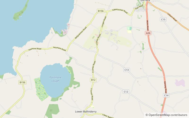
Portmore Lough
Map

Map

Facts and practical information
Portmore Lough is a small lake in southwest County Antrim, Northern Ireland that drains water into nearby Lough Neagh. It is roughly circular and covers an area of 286 hectares. The Lough and its shoreland is designated a Ramsar site, a Special Protection Area and an Area of Special Scientific Interest. The lough is now part of a Royal Society for the Protection of Birds nature reserve. ()
Elevation: 82 ft a.s.l.Coordinates: 54°34'0"N, 6°15'0"W
Location
Northern Ireland
ContactAdd
Social media
Add
Day trips
Portmore Lough – popular in the area (distance from the attraction)
Nearby attractions include: Crumlin, Down Royal Racecourse.


