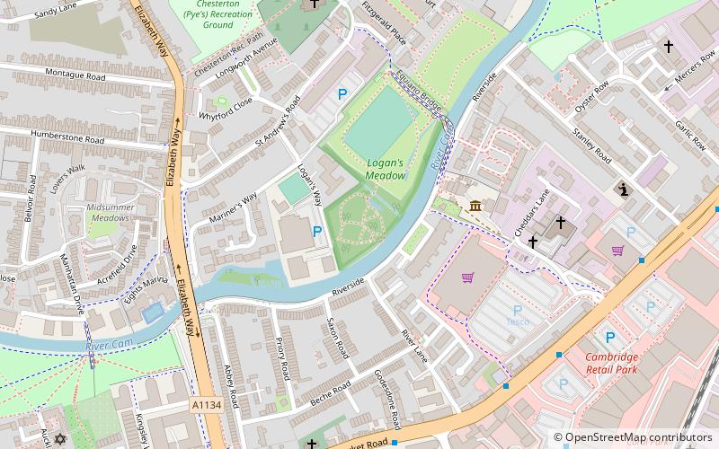
Logan's Meadow, Cambridge
Map

Map

Facts and practical information
Logan's Meadow is a 1.1 hectare Local Nature Reserve in Cambridge. It is owned by Cambridge City Council and managed by the council together with City Greenways Project. ()
Elevation: 33 ft a.s.l.Coordinates: 52°12'44"N, 0°8'27"E
Address
East ChestertonCambridge
ContactAdd
Social media
Add
Day trips
Logan's Meadow – popular in the area (distance from the attraction)
Nearby attractions include: The Grafton, Cambridgeshire Rowing Association, Abbey Stadium, Jesus Green.
Frequently Asked Questions (FAQ)
Which popular attractions are close to Logan's Meadow?
Nearby attractions include Cambridge Museum of Technology, Cambridge (3 min walk), Elizabeth Way, Cambridge (5 min walk), Barnwell Priory, Cambridge (5 min walk), Christ Church Cambridge, Cambridge (12 min walk).
How to get to Logan's Meadow by public transport?
The nearest stations to Logan's Meadow:
Bus
Train
Bus
- River Lane • Lines: 11 (6 min walk)
- Elizabeth Way • Lines: 11 (7 min walk)
Train
- Cambridge North (30 min walk)


