Meall na h-Eilde

Gallery (1)
Map
Map
Facts and practical information
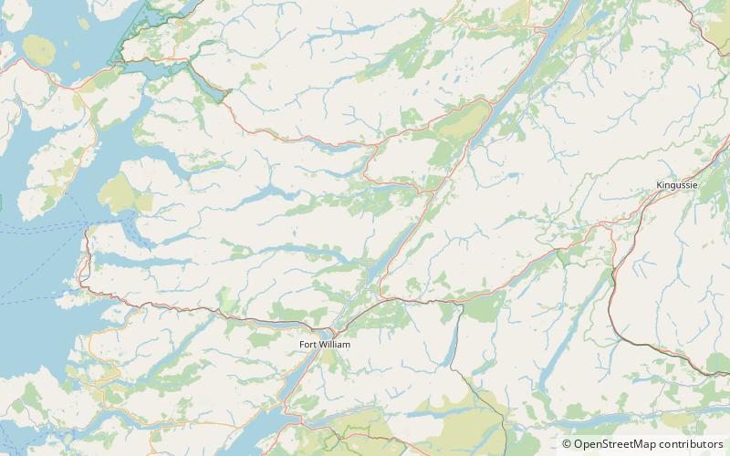
Meall na h-Eilde is a Scottish hill situated in the high ground between the Great Glen and Glen Garry, 23 km north of Fort William in the Highland Council Area. ()
Elevation: 2749 ftProminence: 1486 ftCoordinates: 57°0'32"N, 4°59'26"W
Location
Scotland
ContactAdd
Social media
Add
Day trips


