The Helix, Falkirk
Map

Map

Facts and practical information
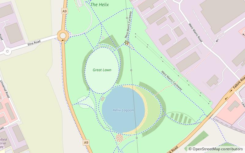
The Helix is a land transformation project to improve the connections between and around 16 communities in Falkirk Council, Scotland, including the eastern end of the Forth and Clyde Canal, and to regenerate the area near where the canal joins the River Carron. The most visible feature of the development is the two unique equine sculptures known as The Kelpies. ()
Elevation: 23 ft a.s.l.Coordinates: 56°0'37"N, 3°45'24"W
Day trips
The Helix – popular in the area (distance from the attraction)
Nearby attractions include: Falkirk Stadium, Callendar House, The Kelpies, Grandsable Cemetery.
Frequently Asked Questions (FAQ)
Which popular attractions are close to The Helix?
Nearby attractions include The Kelpies, Falkirk (16 min walk), Jupiter Urban Wildlife Centre, Grangemouth (23 min walk).
How to get to The Helix by public transport?
The nearest stations to The Helix:
Train
Train
- Falkirk Grahamston (32 min walk)


