St Andrew's Church, Derby
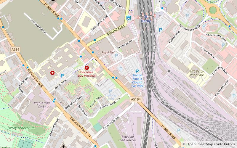
Map
Facts and practical information
St Andrew's Church, London Road was a parish church in the Church of England in Derby, Derbyshire. It was built between 1864 and 1867 and demolished in 1971. ()
Coordinates: 52°54'49"N, 1°27'53"W
Address
ArboretumDerby
ContactAdd
Social media
Add
Getting there by public transportation
Public transportation stops near this location
- Bus
- Train
 Bus
Bus
- Calculate routeBloomfield Street 1 min walk
- Calculate routeMidland Road 4 min walk
- Calculate routeLondon Road Community Hospital 4 min walk
- Calculate routeDerby 5 min walk
- Calculate routePeartree 30 min walk
Day trips


Frequently Asked Questions (FAQ)
Which popular attractions are close to St Andrew's Church?
Nearby attractions include Midland Railway War Memorial, Derby (4 min walk), Royal Crown Derby, Derby (7 min walk), Holy Trinity Church, Derby (9 min walk), Derby Arboretum, Derby (10 min walk).
How to get to St Andrew's Church by public transport?
The nearest stations to St Andrew's Church:
Bus
Train
Bus
- Bloomfield Street • Lines: 1, 1A (1 min walk)
- Midland Road • Lines: 1, 1A, Unibus6 (4 min walk)
Train
- Derby (5 min walk)
- Peartree (30 min walk)