Viking Way


Facts and practical information
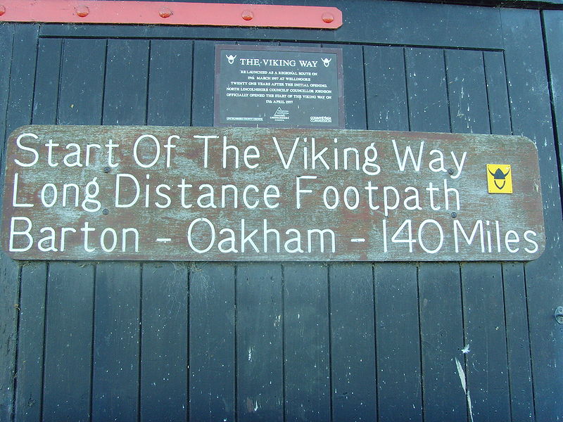
The Viking Way is a captivating long-distance hiking trail that weaves through the picturesque landscapes of the United Kingdom. This renowned path stretches approximately 147 miles (237 kilometers), offering hikers an immersive experience into the natural beauty and historical richness of the English countryside.
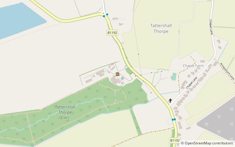
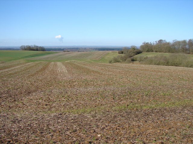
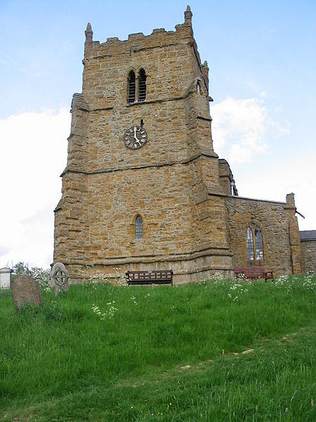
Tracing its route from the Humber Bridge in North Lincolnshire to Oakham in Rutland, the Viking Way traverses a variety of terrains, including rolling chalk hills, serene woodlands, and verdant pastures. The trail's name pays homage to the Norse invaders and settlers who once roamed these lands, and along the way, hikers can encounter sites of historical significance that echo the area's Viking heritage.
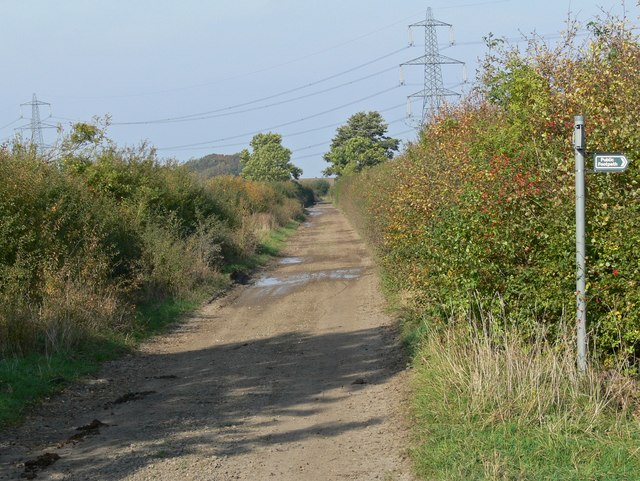
The Viking Way is meticulously waymarked, ensuring that walkers can easily follow the trail and enjoy the journey without the worry of losing their path. It is divided into manageable sections, allowing enthusiasts to tackle the walk in stages or to select portions that cater to different skill levels and time constraints.
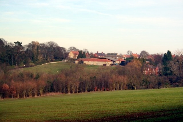
Whether you're a seasoned hiker looking for your next challenge or a history buff eager to tread in the footsteps of Vikings, the Viking Way offers a unique outdoor adventure. With the trail passing through charming villages and market towns, there are plenty of opportunities for rest, refreshment, and exploration of local culture and cuisine.
England