Derry Ormond Tower

Gallery (1)
Map
Map
Facts and practical information
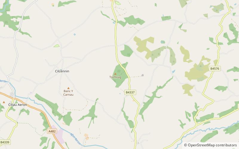
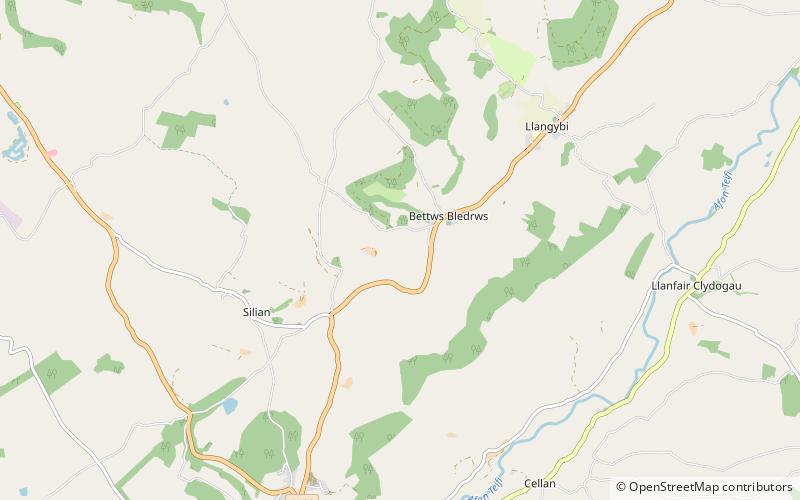
Derry Ormond Tower is a Grade II*-listed folly situated above Betws Bledrws, 3 miles north of Lampeter in the county of Ceredigion, Wales. It was built in the early nineteenth century as an unemployment relief project. ()
Coordinates: 52°8'43"N, 4°3'44"W
Day trips