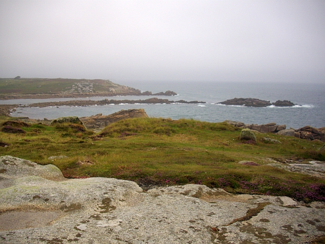
Porth Hellick

Gallery (2)
Map
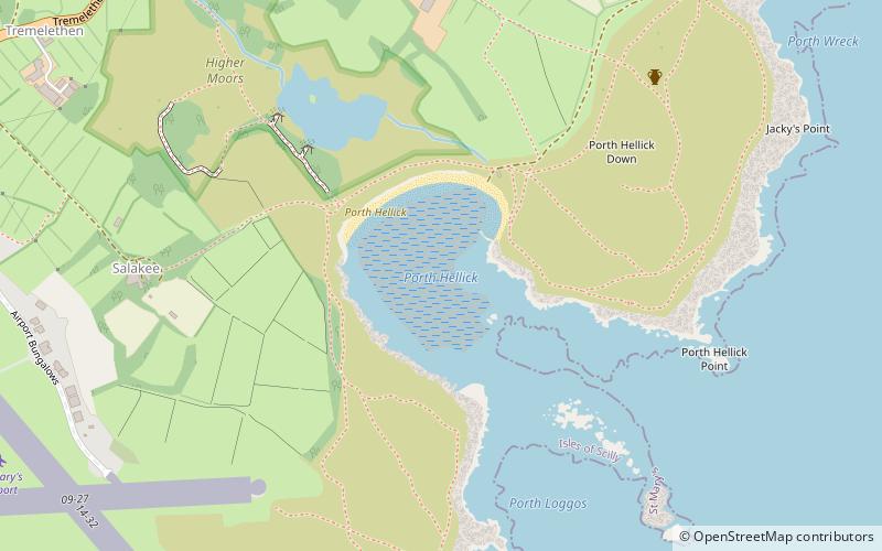
Map
Gallery
Facts and practical information
Porth Hellick is a place located in the United Kingdom and belongs to the category of beach.
It is situated at an altitude of 0 feet, and its geographical coordinates are 49°54'58"N latitude and 6°17'5"W longitude.
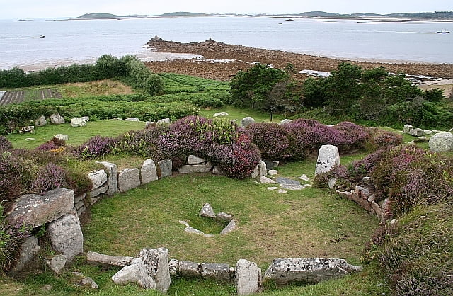
Among other places and attractions worth visiting in the area are: Porth Hellick DownSt Mary's (prehistoric site, 7 min walk), St Mary's Old ChurchSt Mary's (church, 24 min walk), Harry's WallsIsles of Scilly (forts and castles, 26 min walk).
Coordinates: 49°54'58"N, 6°17'5"W
Location
England
ContactAdd
Social media
Add
Day trips