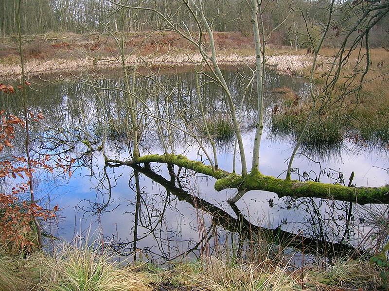
Littlestane Loch
Map

Gallery

Facts and practical information
Littlestane Loch, was situated in the mid-Ayrshire clayland near Stanecastle, Irvine, North Ayrshire, Scotland. It is nowadays only visible as an area of permanent water in the Scottish Wildlife Trust Sourlie Nature Reserve. The loch was natural, sitting in a hollow created by glaciation. The loch waters outflow was via the Red Burn that flows into the River Garnock. The site of Littlestane Loch site is partly built over and much of the site is now public open space lying within the Parish of Girdle Toll. ()
Elevation: 89 ft a.s.l.Coordinates: 55°37'48"N, 4°37'48"W
Location
Scotland
ContactAdd
Social media
Add
Day trips
Littlestane Loch – popular in the area (distance from the attraction)
Nearby attractions include: Kilwinning Abbey, Eglinton Loch, Stanecastle, Drukken Steps.


