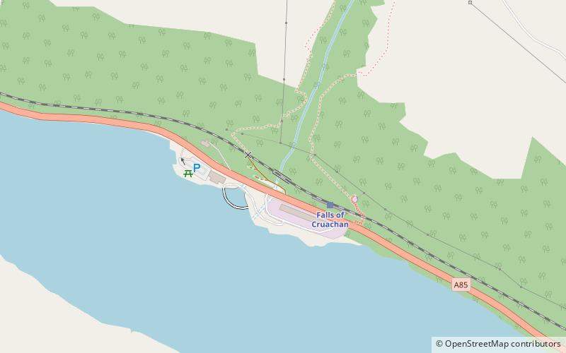
Falls of Cruachan Railway Viaduct

Gallery (1)
Map
Map
Facts and practical information
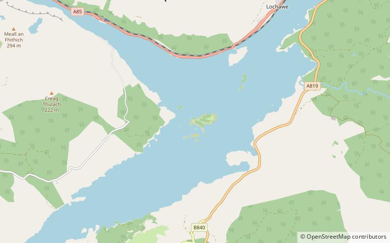
The Falls of Cruachan Railway Viaduct is a railway viaduct that carries the West Highland Line over the Falls of Cruachan, near Loch Awe. ()
Opened: 1880 (146 years ago)Coordinates: 56°23'40"N, 5°6'51"W
Location
Scotland
ContactAdd
Social media
Add
Day trips