Ruthin-Pwllglas Golf Club

Gallery (1)
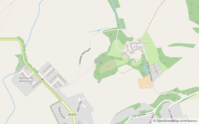
Map
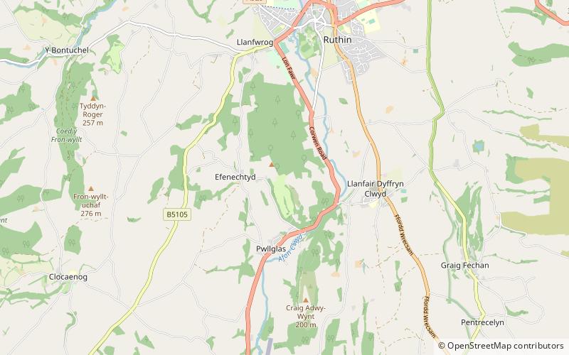
Map
Facts and practical information
Ruthin-Pwllglas Golf Club is a place located in the United Kingdom and belongs to the category of golf.
It is situated at an altitude of 607 feet, and its geographical coordinates are 53°5'30"N latitude and 3°19'5"W longitude.
Among other places and attractions worth visiting in the area are: Ruthin CastleRuthin (forts and castles, 36 min walk), Nantclwyd y DreRuthin (historical place, 40 min walk), Maen HuailRuthin (memorial, 41 min walk).
Coordinates: 53°5'30"N, 3°19'5"W
Day trips