Stopsley, Luton
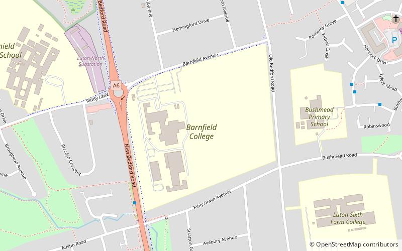
Map
Gallery
Facts and practical information
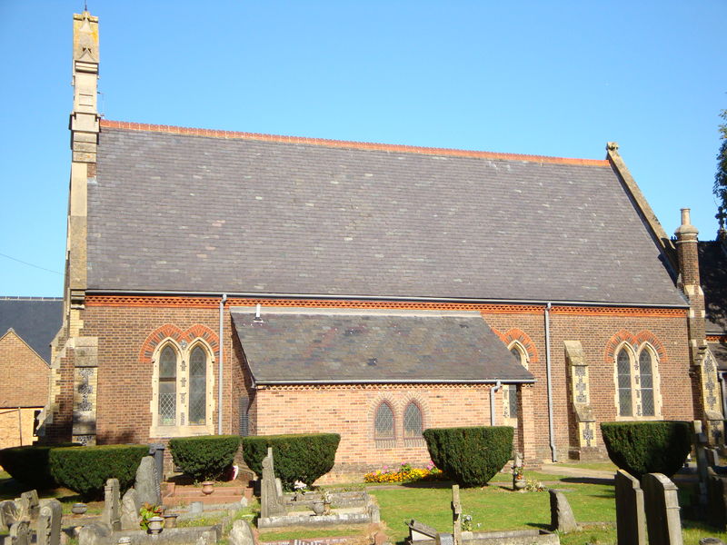
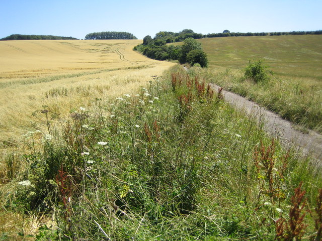
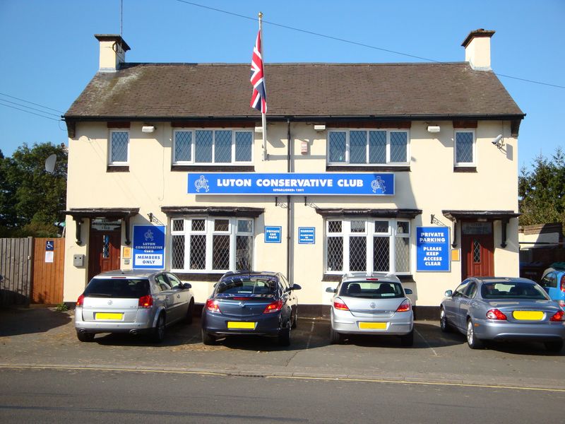
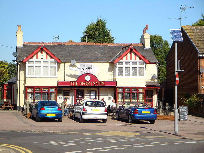
Stopsley is a suburb in the north-east of Luton, Bedfordshire, England. The area is roughly bounded by the edge of Luton to the north, Vauxhall Way and Turners Road North to the south, Bradgers Hill to the west, and Cannon Lane, Stapleford Road and Brays Road to the east. ()
Coordinates: 51°54'1"N, 0°23'44"W
Address
StopsleyLuton
ContactAdd
Social media
Add
Day trips
Stopsley – popular in the area (distance from the attraction)
Nearby attractions include: Wardown Park, Wardown Park Museum, Painters Arms, Putteridge Bury.


