Craig yr Aderyn, Snowdonia National Park
Map

Map

Facts and practical information
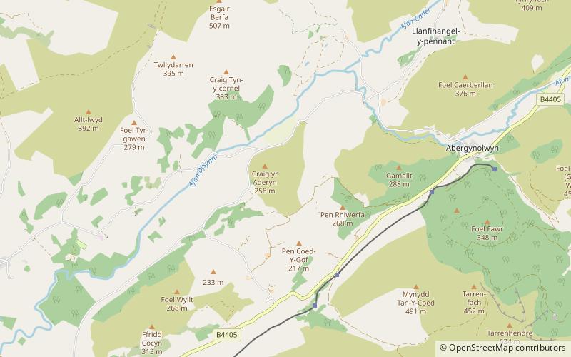
Craig yr Aderyn is a hill rising to a height of 258 metres above sea level on the south bank of the River Dysynni near Llanfihangel-y-Pennant in the county of Gwynedd, north-west Wales. Craig yr Aderyn has been designated as a Site of Special Scientific Interest because of the choughs and other birds that breed there. ()
Area: 220.99 acres (0.3453 mi²)Coordinates: 52°38'26"N, 4°0'4"W
Address
Snowdonia National Park
ContactAdd
Social media
Add
Day trips
Craig yr Aderyn – popular in the area (distance from the attraction)
Nearby attractions include: Dolgoch Falls, Cadair Idris, Castell y Bere, Narrow Gauge Railway Museum.
Frequently Asked Questions (FAQ)
How to get to Craig yr Aderyn by public transport?
The nearest stations to Craig yr Aderyn:
Train
Train
- Quarry Siding (29 min walk)


