Bolehall, Tamworth
Map

Map

Facts and practical information
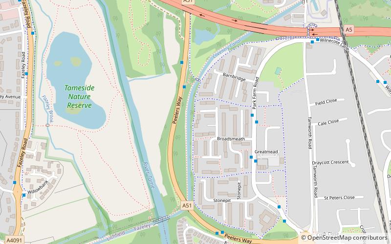
Bolehall is a village in Staffordshire, England, part of the Tamworth Conurbation. The village sits on the south bank of the River Anker. The parish of Bolehall and Glascote, was historically part of Warwickshire. ()
Coordinates: 52°37'12"N, 1°41'24"W
Address
Tamworth
ContactAdd
Social media
Add
Day trips
Bolehall – popular in the area (distance from the attraction)
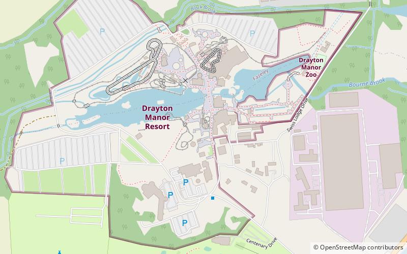
Nearby attractions include: Snowdome, G Force Roller Coaster, Thomas Land, Drayton Manor Theme Park.
Frequently Asked Questions (FAQ)
Which popular attractions are close to Bolehall?
Nearby attractions include Fazeley, Tamworth (13 min walk), Fazeley Junction, Tamworth (15 min walk), Snowdome, Tamworth (17 min walk), Bolehall Viaduct, Tamworth (20 min walk).
How to get to Bolehall by public transport?
The nearest stations to Bolehall:
Train
Train
- Wilnecote (20 min walk)


