Prinsted, Southbourne

Gallery (1)
Map
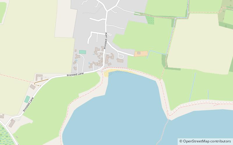
Map
Facts and practical information
Prinsted (address: Prinsted Lane) is a place located in Southbourne (England kingdom) and belongs to the category of beach.
It is situated at an altitude of 7 feet, and its geographical coordinates are 50°50'24"N latitude and 0°54'46"W longitude.
Among other places and attractions worth visiting in the area are: Brook Meadow, Emsworth (park, 31 min walk), St John the Baptist's Church (church, 40 min walk), Loddon Nature Reserve, South Downs National Park (natural attraction, 54 min walk).
Coordinates: 50°50'24"N, 0°54'46"W
Day trips