Garreg Lwyd

Map
Facts and practical information
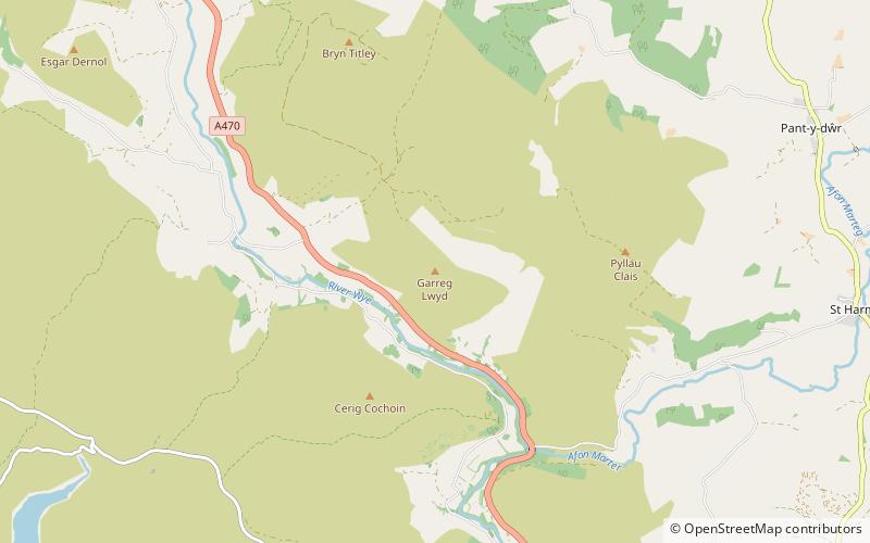
Garreg Lwyd is a hill in Mid Wales, between the towns of Rhayader and Llangurig. It rises to the east above the A470 as it follows the Wye Valley. The Bryn Titli Wind Farm is situated on an area of flatter moorland to the north-west. Red kites frequent the area. ()
Elevation: 1634 ftProminence: 673 ftCoordinates: 52°20'55"N, 3°33'15"W
Location
Wales
ContactAdd
Social media
Add
Day trips
Garreg Lwyd – popular in the area (distance from the attraction)
Nearby attractions include: Rhayader Castle, Claerwen, Pegwn Mawr, Old Swan.


