Bratton House
Map

Map

Facts and practical information
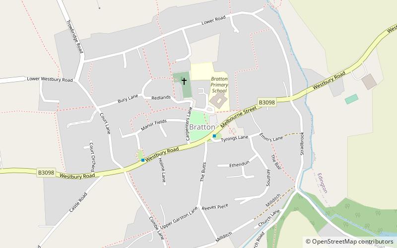
Bratton House is a grade II* listed country house in Melbourne Street, Bratton, Wiltshire, England. The house dates from 1715 and was built for Philip Ballard. It was enlarged in 1826 for the Seagram family with additional alterations in 1915 and the 1930s. ()
Elevation: 335 ft a.s.l.Coordinates: 51°16'15"N, 2°7'27"W
Location
England
ContactAdd
Social media
Add
Day trips
Bratton House – popular in the area (distance from the attraction)
Nearby attractions include: The Shires Shopping Centre, Holy Trinity Church, Westbury White Horse, Trowbridge Town Hall.


