Alney Island, Gloucester
Map
Map

Facts and practical information
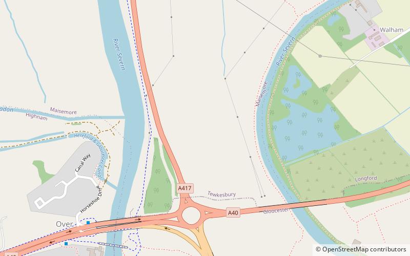
Alney Island is an island in the River Severn near Gloucester, Gloucestershire, England. The Severn splits into two channels at Upper Parting, and merges again at Lower Parting to the south. The island is a strip of land in between the two channels, about 2.1 miles long and 0.74 miles at its widest. It is a local Nature Reserve. ()
Coordinates: 51°52'39"N, 2°15'51"W
Address
Gloucester
ContactAdd
Social media
Add
Day trips
Alney Island – popular in the area (distance from the attraction)
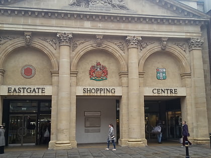
Nearby attractions include: Gloucester Cathedral, Eastgate Shopping Centre, Kings Walk Shopping Centre, Kingsholm Stadium.
Frequently Asked Questions (FAQ)
Which popular attractions are close to Alney Island?
Nearby attractions include Herefordshire and Gloucestershire Canal Trust, Gloucester (6 min walk), Over Bridge, Gloucester (7 min walk), Westgate Galleria, Gloucester (16 min walk), St Mary de Lode Church, Gloucester (23 min walk).
How to get to Alney Island by public transport?
The nearest stations to Alney Island:
Train
Train
- Gloucester (36 min walk)


